|
39. Mapy Olecka i okolic |
|||
|
|
|
||
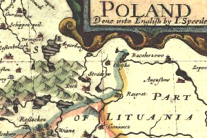
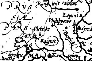
 Map of Poland AD 1607-1651, by Erik Johson Dahlberg, Louis Cordier, Gerard Mercator, Samuel Puffendorf and Christoph Rigelius, Nurynburg 1696 |
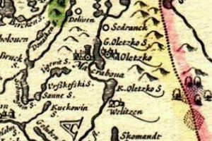
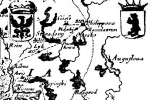
 Map of Lithuania, Hondius Jodocus, AD 1635 |
||
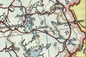
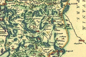 Prusy (Prussia), by Jan Janssonius, Symosz van Hamersveldt, Amsterdam 1647-1658 |
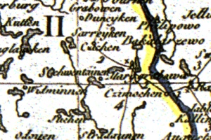
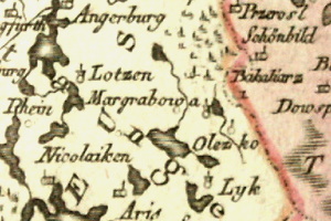 Polen, 1796 |
||
|
|
|
||
 Karte Ostpreussen, 1914 |
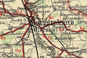
 Wojskowy Instytut Geograficzny,1931 |
||
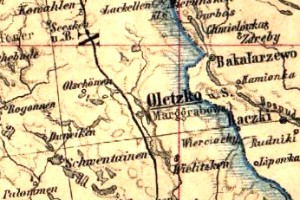
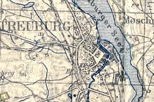
 Kreises Oletzko, 1936 |
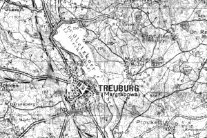
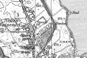 Karte des Deutschen Reiches Topographische Karte1 :25000, 1941 |
||
 Karte des Deutschen Reiches Topographische Karte 1 :25000, 1941 |
|
||
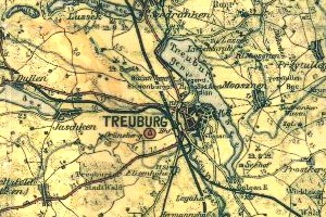
 Dunlop Strassenkarte , 1930 |
 Polska Mapa topograficzna, administracyjna i komunikacyjna opracowana pod redakcją E. Romera 1:600 000, 1938 |
||
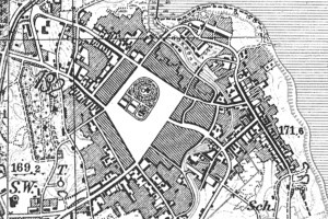
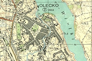 Mapa topograficzna. Sztab Generalny WP, 1:25 000, 1950 |
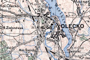 Mapa topograficzna. Sztab Generalny WP, 1:50 000, 1950 |
||
|
Opracowanie: J. Kunicki |
|
||